*As of Sep 30, 2 PM local time.*
Current Conditions and Alert Overview
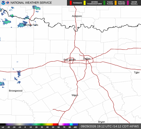
Residents in Prosper, Texas, are under a Severe Flood Watch that remains in effect until October 2 at 7:00 AM CDT. This alert was issued by the National Weather Service in Fort Worth on September 30 at 4:40 AM CDT. The watch indicates that conditions are favorable for flooding, and residents should monitor local news for updates.
Current atmospheric conditions reflect a mix of intense heat and significant moisture. As of this Wednesday afternoon, the air temperature stands at 90F with a relative humidity of 56% and a dew point of 72F. The heat index is currently registering at 96F, making it feel significantly warmer than the actual air temperature.
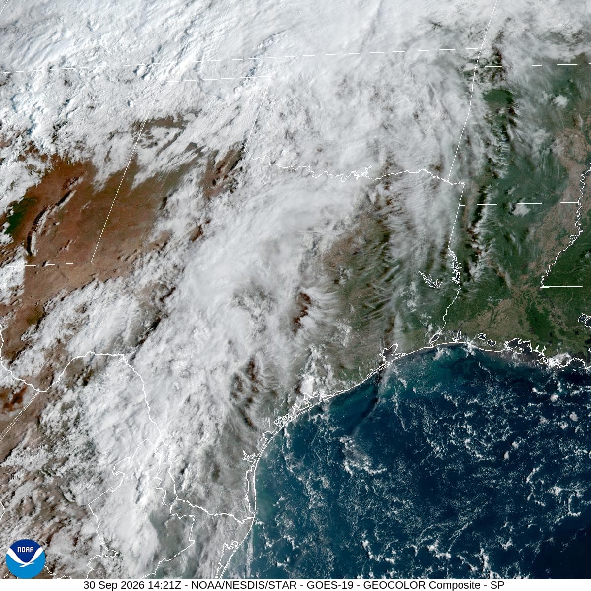
Winds are brisk from the south at 21 mph, with gusts reaching up to 29 mph. The sky remains mostly cloudy, contributing to the oppressive humidity and setting the stage for potential severe weather.
Forecast for Today and Tomorrow
Today, Prosper will see a high near 93F. Scattered rain showers are expected before 4pm, followed by scattered showers and thunderstorms later in the day. The chance of precipitation is currently at 34%, with new rainfall amounts between a tenth and quarter of an inch possible overnight.
Overnight lows will settle near 73F, though temperatures may rise to around 75F during the night. Winds will continue from the south southeast at around 15 mph, with gusts as high as 30 mph. The heat index could reach values as high as 97F.
Tomorrow brings a notable drop in temperature, with highs near 81F and lows around 70F. Showers and thunderstorms are likely before 4pm, transitioning to scattered showers and thunderstorms later. The chance of precipitation jumps to 87%, with new rainfall amounts between 1 and 2 inches possible. Winds will shift slightly to the south southeast at 10 to 15 mph, with gusts up to 25 mph.