*As of Oct 1, 2 PM local time.*
Active Alerts and Current Conditions
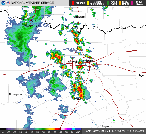
A Severe Flood Watch is currently in effect for Prosper, Texas. This alert was issued by the National Weather Service in Fort Worth and remains valid until October 2 at 7:00 AM CDT. Residents should remain vigilant as conditions are favorable for flooding.
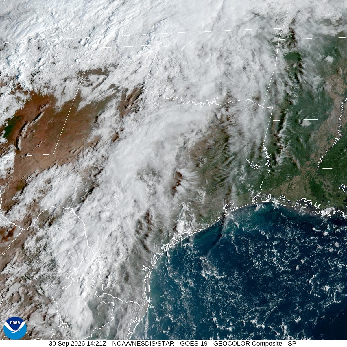
Right now, the atmosphere is saturated. The air temperature sits at 70F with a feels-like temperature of 70F. Relative humidity is at 100%, and the dew point matches the air temperature at 70F. Winds are blowing from the south-southeast at 7 mph, but gusts are reaching up to 30 mph. The sky is currently producing light rain.
Forecast for Today and Tonight
Today, showers and thunderstorms are likely before 4pm, followed by a chance of showers and thunderstorms later in the day. Expect cloudy skies with a high near 76F. Winds will shift to the south-southeast around 10 mph, with gusts as high as 20 mph. The chance of precipitation is 70%. New rainfall amounts between a tenth and quarter of an inch are possible.
Tonight, conditions remain wet with a chance of showers and thunderstorms before 10pm, followed by showers and thunderstorms. Skies will be mostly cloudy. The low will be around 70F, though temperatures may rise to around 73F overnight. Southeast winds will decrease to around 5 mph. There is an 80% chance of precipitation, with new rainfall amounts between 1 and 2 inches possible.
Outlook for Tomorrow
Tomorrow brings continued wet weather with showers and thunderstorms expected throughout the day. Cloudy skies will persist with a high near 75F. Northeast winds will range from 5 to 10 mph. The chance of precipitation remains high at 80%, with new rainfall amounts between 1 and 2 inches possible.