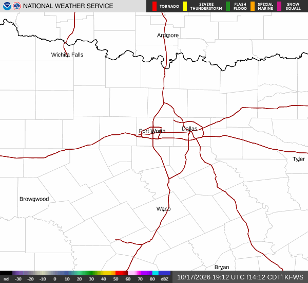
Heat Persists Despite Distant Storm
Prosper remains firmly under the influence of hot, dry air as Tropical Storm Edouard moves well to the south. While the system is tracking toward the Texas-Louisiana border with sustained winds near 40 mph and possible strengthening before landfall, its impact on this area is minimal.
The heaviest rain associated with Edouard is expected over Southeast Texas, while chances for precipitation rise elsewhere in the state Tuesday evening through midweek. For now, the recent run of 100-degree days continues to dominate local conditions.
Current readings show an air temperature of 90F with a feels-like of 95F. Humidity sits at 52% with a dew point of 70F. Winds are light from the south southeast at 6 mph, with gusts reaching 6 mph under clear skies.
Today and Tomorrow Forecast
Today brings a high near 100F with a low near 78F. The sky will be sunny initially, followed by a slight chance of rain showers between 1pm and 4pm, then a slight chance of showers and thunderstorms later. Heat index values may reach as high as 104. South southeast winds will blow at 5 to 10 mph.
Tonight, conditions remain mostly clear with a low around 78. Temperatures may rise to around 80 overnight. There is a slight chance of showers and thunderstorms, with heat index values up to 101. Southeast winds will continue at 5 to 10 mph.